
The Complementary Visionaries: How Tobler and Tomlinson Co-Invented GIS
On the history of Geographic Information Systems (GIS)

The history of Geographic Information Systems (GIS) starts with two brilliant geographers, Waldo Tobler and Roger Tomlinson, whose lives and work moved in astonishingly close parallels, providing both the mathematical theory and the operational technology that underpin GIScience today.
The November Birthday Nexus
The story starts with an astonishing biographical fact: Tobler, an American-Swiss Geographer and Cartographer, was born on November 16, 1930. Just one day later, in the same month, Roger Tomlinson, an English-Canadian Geographer, was born on November 17, 1933. They were born just one day apart in the same month, exactly three years apart, setting the stage for their parallel emergence as GIS pioneers.
An Uncanny Coincidence: Career Paths
Both men were key figures in the “quantitative revolution” of the 1950s and 60s, pushing geography away from purely descriptive studies toward mathematical modeling and analytical techniques.
Tobler’s early paper, “Automation and Cartography” (1959), was one of the earliest to lay out the vision for computer mapping, even developing the MIMO (”Map in–Map out”) system. Just a few years later, Tomlinson successfully implemented this vision, coining the term and developing the first operational system, the Canada Geographic Information System (GIS), in the early 1960s.
In essence, Tobler provided the theoretical groundwork that pioneers like Tomlinson built upon to create the first complete, operational system capable of GIS analysis.
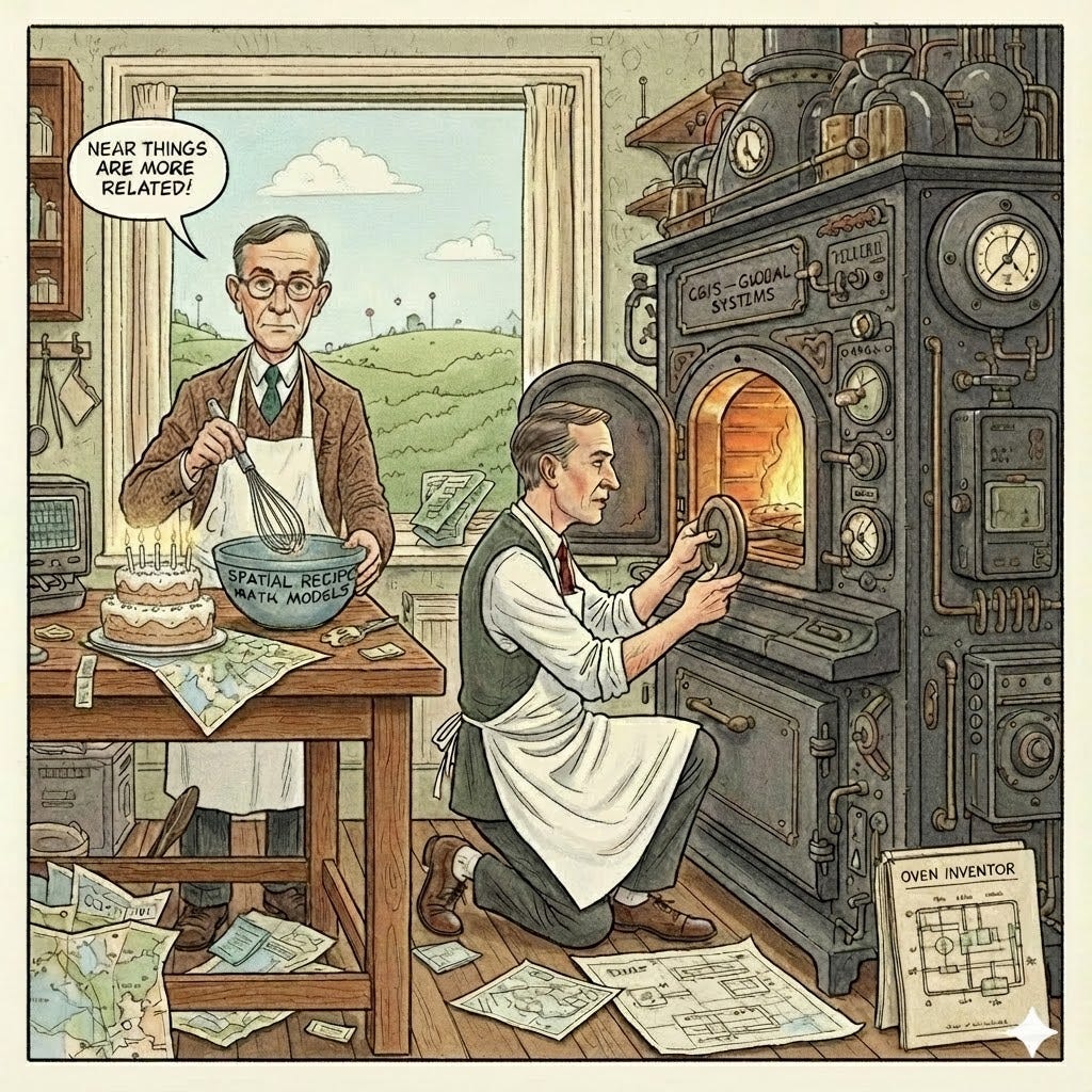
The Recipe Writer and The Oven Inventor
To truly understand their complementary contributions, let’s look at their specific outputs:
Waldo Tobler was the Recipe Writer. He provided the theoretical and mathematical foundations for spatial analysis. His most famous contribution is Tobler’s First Law of Geography, the fundamental rule for all spatial analysis—”near things are more related than distant things.” This work established Analytical Cartography as a discipline, defining how geographic data should be structured and analyzed mathematically. He even put his skills to use contributing to projects like the Global Demography Project (mapping worldwide population).
Roger Tomlinson was the Oven Inventor. He created the operational, computerized system capable of executing the analysis. His key output was the Canada Geographic Information System (GIS)—the first machine to successfully combine mapped layers and databases for analysis. Tomlinson provided the conceptual model of combining spatial data layers and databases, proving that a computer could efficiently and accurately process national-scale data (like the Canada Land Inventory) where manual methods failed.
Let’s Munch on This a Bit: From Classified Maps to GIS
Before they revolutionized civilian planning and academic research, both men gained invaluable, high-stakes experience that sharpened their analytical focus and exposed them to cutting-edge computing.
Tobler served in the U.S. Army’s Counter-Intelligence Corps during the Cold War, later working on the classified military SAGE air defense system, where he was exposed to massive radar screens requiring real-time geographic visualizations.
Tomlinson served in the Canada’s Royal Air Force, gaining a crucial, large-scale perspective on aerial logistics and geographic scope that prepared him for managing a national land inventory.
These early military experiences—dealing with classified data, complex logistics, and early graphic computer technology—were a powerful catalyst. Their time in uniform showed them, firsthand, the critical need for fast, accurate geographic intelligence.
A Partnership in Digital Geography
While we credit Roger Tomlinson as the official “Father of GIS” for building the first functional system, remember that the intellectual foundation he built upon was reinforced by Waldo Tobler. Born just a day apart, these two essentially completed each other’s work: Tobler gave us the theoretical recipe—the mathematical rules and the profound understanding that location matters (his First Law)—and Tomlinson created the oven—the actual computer system that could process those recipes. When you use a digital map or run a complex spatial analysis today, you’re not just using a technology; you’re benefiting from the combined, pioneering visions of these two November-born geographers. It’s truly a legacy where the theory and the system went hand-in-hand!
Stay tuned for the next post, where we’ll dive deep into how their respective military service became the vessel that provided the essential skills needed to invent GIS.