
Why Hands-On Instruction Outperforms Self-Paced Online GIS Learning
My Research Findings

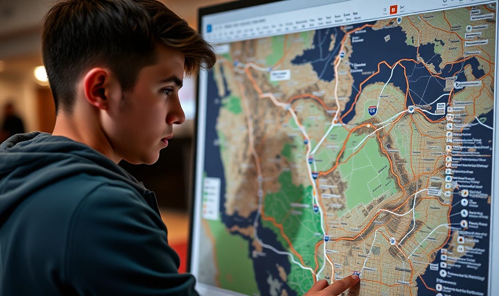
Let’s be honest. We’re all tired of those self-paced online courses where you just follow instructions without truly learning how to create your own GIS workflows or apply the material to a real project. Am I right?
I believe that hands-on courses such as GIS110: Introduction to GIS at Tompkins Cortland Community College (TC3) offers the best path to building real-world GIS skills.
The Cost & Value Contrast:
Through my research, I’ve found that equivalent foundational training from vendor-specific programs like Esri Academy (often self-paced and without personalized support) would cost a student over $6,000.
In sharp contrast, the TC3 course provides structured, in-person meetings with dedicated instructor time and personalized feedback. I was genuinely impressed that the tuition for Tompkins and Cortland county residents is only approximately $600 (plus minimal fees) for a 3-credit course. This value is unparalleled.
GIS110: Introduction to GIS
Duration: January 26, 2026 – May 15, 2026 (15 Weeks)
Schedule: On-Campus meetings, Mondays and Wednesdays, 5:00 PM – 6:45 PM
Location: TC3 Main Campus, Room 262
Stop clicking and start doing. Enroll today as a non-matriculated student and invest in skills that truly matter.
Secure Your Spot in GIS110 Spring 2026: https://www3.tc3.edu/NonMatric/
GIS110: Introduction to GIS course is a comprehensive, credit-bearing class designed to provide you with the foundational knowledge and practical skills needed to enter the geospatial field. The best way to illustrate its value is to compare our curriculum to the equivalent, full-price instructor-led training (ILT) courses available directly through the Esri Academy, the developers of ArcGIS Pro software.
Estimated Esri Academy Cost:
Unit 1: Intro to GIS What is GIS? → Data and Geodata, File Organization ”Introduction to GIS Using ArcGIS” (Focus on GIS fundamentals)
$2,020 – $2,130 (2 days, 16 hours)
Unit 2: Intro to ArcGIS Pro’s role → Projects, Maps, Layouts, Navigating the software ”ArcGIS Pro: Essential Workflows” (Focus on Pro interface and projects)
$3,030 – $3,195 (3 days, 24 hours)
Unit 3: Mapping Basics → Coordinate Systems, Projections, Map Design Concepts, Labeling, Queries, Selection Core content from “Introduction to GIS Using ArcGIS” and “ArcGIS Pro: Essential Workflows” Covered above
Unit 4: Geodata in More Depth → Data Sources, Data Acquisition, Joins. Core content from “ArcGIS Pro: Essential Workflows” data management modules Covered above
Unit 5: Geoprocessing → Spatial Selection, Buffers, Union, Intersect, Dissolve, Merge” ArcGIS Pro: Essential Workflows” (Initial analysis workflows) and modules from specialized “Spatial Analysis” courses
Included in ILT above, plus specialized training ($1,000s)
Unit 6: Editing and Digitizing, Creating Features, Geocoding Addresses, Georeferencing, GPS/GNSS Requires a dedicated editing course, such as “Editing Data in ArcGIS Pro”
$960 – $1,920 (1 to 2 days)
Unit 7: Synthesizing Topics and Use Cases from Different Professional/Academic Areas, Model Builder, 3D Mapping Covered only through advanced Esri specialization courses or advanced e-Learning series.
Included in advanced courses ($1,000s)
Total Equivalent Esri Academy Training: All essential foundational topics covered in 3-5 separate, intensive, instructor-led courses: $6,010+ (Minimum estimate)